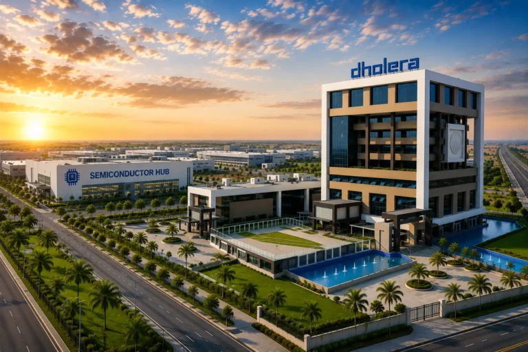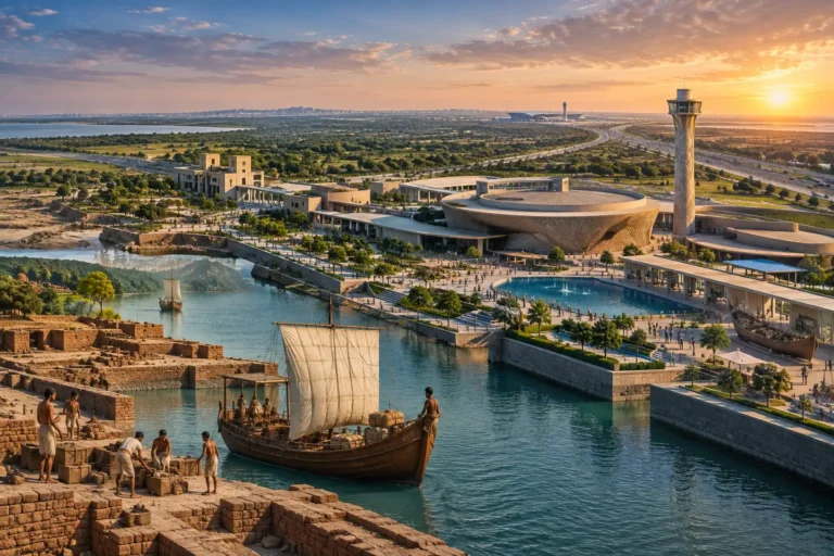
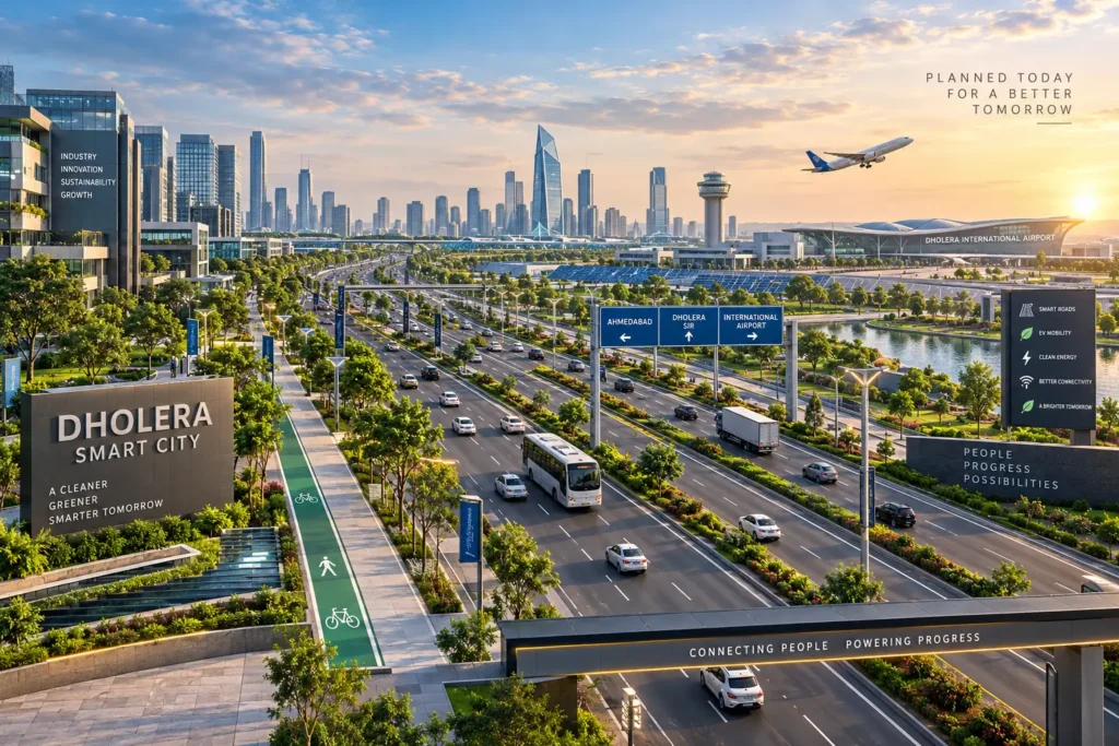
Most Indian cities fix their roads after the traffic arrives. Dholera is doing the opposite. Spread across 920 sq. km under the Delhi–Mumbai Industrial Corridor, this greenfield city was planned around movement before a single building went up. That head start is why Dholera smart transport is becoming the reference point for how the next generation of Indian cities should be designed.
No legacy pipes to work around. No decades-old street grid to widen. Dholera smart transport starts from clean sheets, clean energy and a network built to be measured, monitored and upgraded.
Smart Infrastructure Built Beneath Every Road

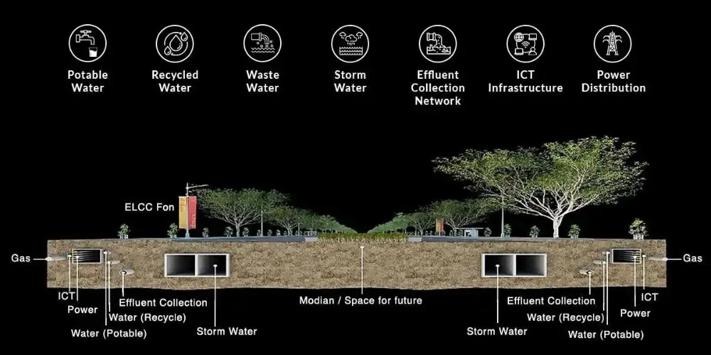
The most important part of Dholera smart transport is the part nobody sees. Every road corridor runs over underground utility ducts carrying ICT cables, power, gas, stormwater, potable water, recycled water and space reserved for future transit lines.
This plug-and-play model means upgrades happen without digging up the street.
- Cycle tracks and protected pedestrian pathways
- LED street lighting and energy-efficient systems
- City-wide Wi-Fi coverage
- Centralised control for real-time monitoring
- Smart meters and SCADA-enabled utility management
- A 100% recycled water network with green buffer zones
The practical result is fewer disruptions, lower maintenance costs and roads that stay usable while the city grows around them.
A Master Plan That Puts Movement First
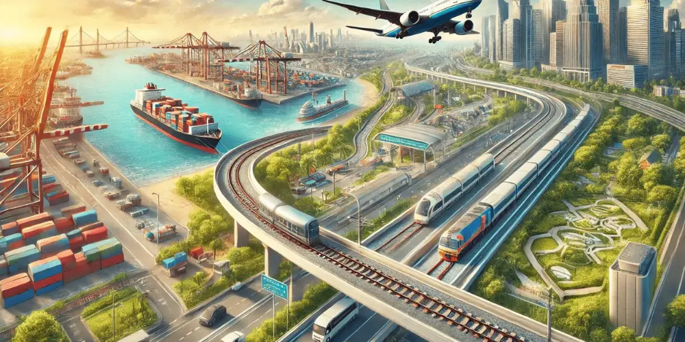
Dholera’s master plan treats transport as the organising principle rather than an afterthought. Zoning decides where industry, housing and commerce sit, and those decisions are made to shorten trips rather than lengthen them.
- A clear hierarchy of arterial, sub-arterial and collector roads
- Dedicated logistics corridors that keep freight off residential streets
- Land-use distribution designed to cut unnecessary travel
- Walk-to-work clusters that lower the daily carbon footprint
- Reserved alignments for future mass rapid transit
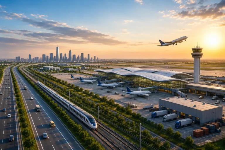
- Direct links to the expressway and the international airport
Shorter trips are the cheapest congestion fix available, and Dholera smart transport builds that advantage into the map itself.
The EV Ecosystem Powering Green Mobility
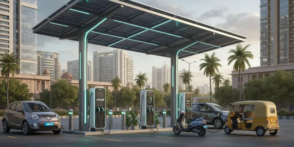
Dholera is positioning itself as one of India’s strongest electric vehicle ecosystems, backed by renewable generation and incentives for EV adoption.
- EV charging corridors along arterial routes
- Solar-powered charging stations
- Battery-swapping points across commercial and industrial clusters
- Electric public transit fleets
- An energy-efficient street grid designed to handle EV load
This matters for two reasons. Residents get lower running costs and cleaner air, and the city becomes an attractive base for electric mobility manufacturing. Green mobility here is an industrial strategy as much as an environmental one.
Technology That Actually Runs the Roads
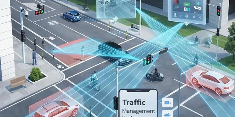
Dholera smart transport layers digital systems across every part of the network, from signal timing to ticketing.
Core technologies in play:
- IoT-based data collection across corridors
- AI-driven traffic signal control
- Cloud-integrated transport management
- Sensor-based road safety alerts
- Digital mapping with live congestion updates
- Smart cards and mobile apps for public transport
Alongside this sits a traffic sensor network handling vehicle counting, adaptive signals, incident detection, smart parking, air-quality readings and pedestrian safety analytics.
All of it feeds a central command centre. Traffic sensors, public transport GPS, EV charging grids, CCTV, weather data and utility operations flow into one system, which turns raw feeds into real-time route optimisation, faster emergency response, predictive congestion management and evidence for future road planning.
That integration is what separates Dholera smart transport from cities that install sensors without connecting them to anything.
Road Design Built to International Standards
The physical engineering is benchmarked against global standards rather than local minimums.
- Right of Way ranging from 18 to 70 metres
- Four- to six-lane high-speed corridors
- Dedicated cycling and pedestrian lanes
- Non-motorised mobility routes
- Smart signalling at intersections
- Under-road utility tunnels keeping the surface clear
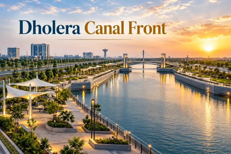
- Shaded pathways and landscaped green edges
Wide corridors handle volume. Shaded walkways and cycle tracks keep the street usable for people, not just vehicles. Getting both right in the same cross-section is rare in Indian urban design, and it is a defining feature of Dholera smart transport.
Regional and Multi-Modal Connectivity
A city is only as mobile as its links to everywhere else. Dholera smart transport extends well past the municipal boundary.
- A dedicated expressway connecting Ahmedabad and Dholera
- Sharply reduced travel time to the airport
- A planned MRTS alignment for mass transit
- Freight corridors supporting industrial logistics
- Access to nearby ports for international trade
Road, air via Dholera International Airport, and sea through regional ports all feed into one system, so Dholera smart transport moves goods as efficiently as it moves people. For manufacturers, that combination decides where factories get built.
Green Mobility and the Road Ahead
Environmental planning runs through the whole strategy rather than sitting in a separate chapter.
- Tree-lined boulevards and shaded walkways
- Rainwater harvesting and sustainable drainage
- Non-motorised mobility zones
- Public transport priority in corridor design
- Renewable energy powering transport infrastructure
Transit-oriented development and mixed-use zoning reduce the need to travel far in the first place, which is the most effective emissions cut a city can make.
Dholera smart transport shows what becomes possible when mobility is designed before development instead of retrofitted after it — clean, connected, measurable and built to keep improving.
FAQs
It is the city’s integrated mobility system combining smart road infrastructure, EV charging networks, AI traffic control and real-time data management across a 920 sq. km greenfield city.
Through a dedicated expressway that significantly cuts travel time between the two cities and to Dholera International Airport.
Yes. The plan includes EV charging corridors, solar-powered stations, battery-swapping points and electric public transit.
Right of Way spans 18–70 metres with four to six lanes, separate cycling and pedestrian lanes, and utility tunnels running beneath the surface.
They enable adaptive signals, incident detection, smart parking and air-quality monitoring, producing shorter and more predictable commutes.