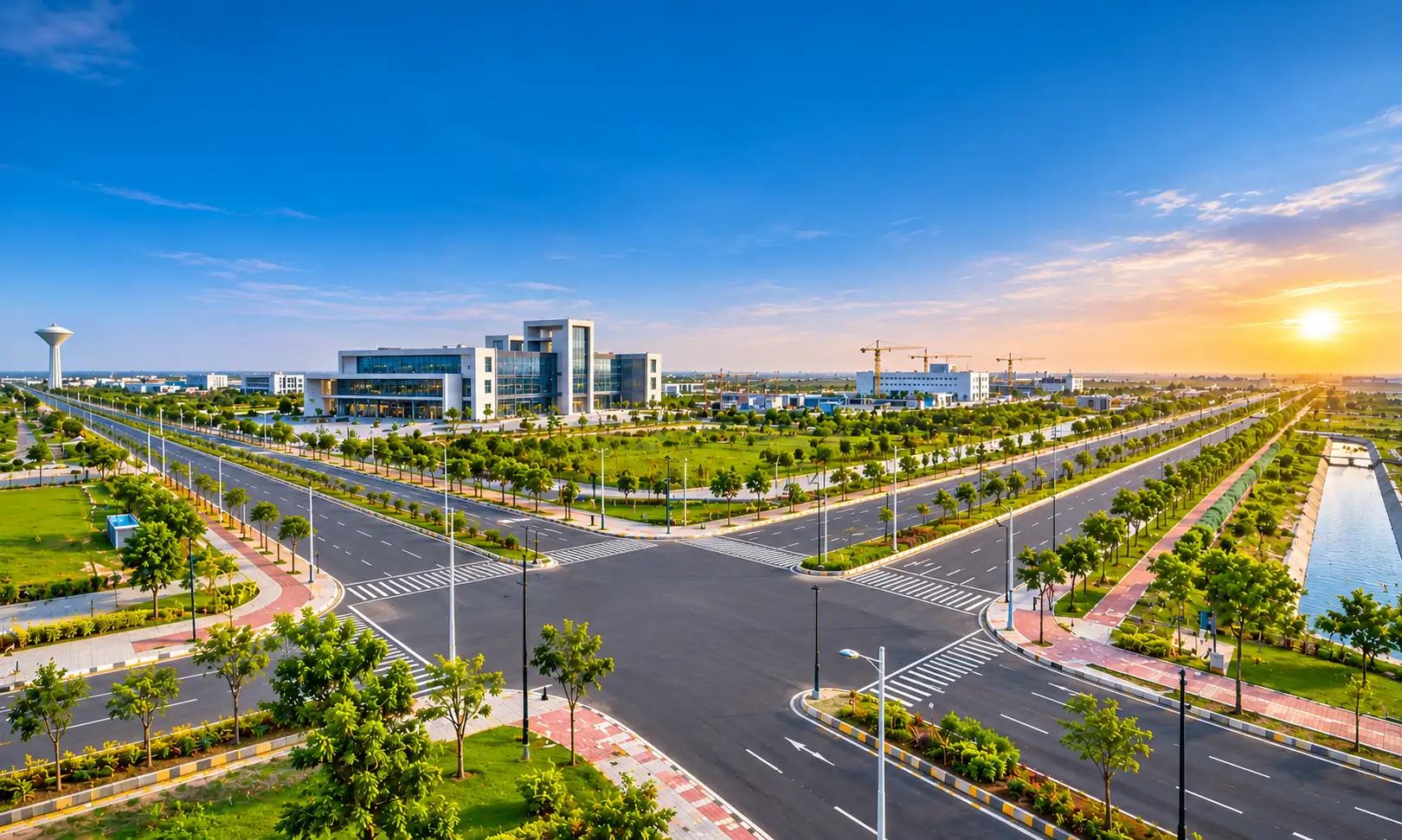
Most articles about Dholera begin with how quickly you can reach it. Buyers and businesses should also ask a second question: what happens after you arrive?
That question is about the internal connectivity of Dholera. It covers the roads inside the city, the services running beneath them, and the links that tie industrial, residential and commercial land together.
This guide follows the journey in order, from the regional highway to the plot boundary. Along the way, it separates what is already built from what is still planned.
Why Dholera’s Size Makes Internal Links So Important
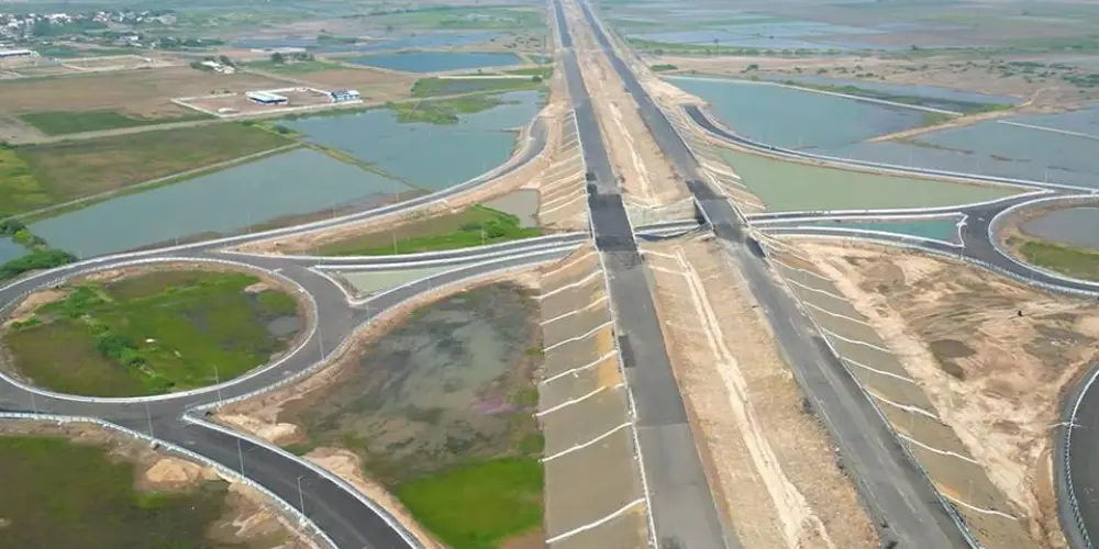
Dholera Special Investment Region (SIR) spreads across about 920 sq km. Of this, about 422 sq km is marked as developable land.
No city of that size gets its full network in one go. Dholera is being developed in phases, and each phase depends on approved Town Planning (TP) schemes.
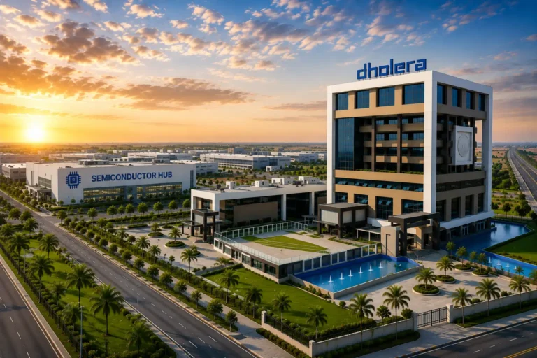
The first phase is the Activation Area, which covers about 22.54 sq km under TP Schemes 2A and 4A.
This is the key point for any reader. Today’s most developed internal network sits inside the Activation Area. The rest of the region will grow scheme by scheme.
The Regional Roads That Feed the City
Internal roads only work when strong routes feed them. Dholera has two main feeders.
The first is the Ahmedabad–Dholera Expressway, inaugurated on 31 March 2026. Here is what it offers:
- Length: about 109 km
- Type: access-controlled
- Lanes: four, expandable to eight
- Start point: Sarkhej, with a link to the Sardar Patel Ring Road
- Reported travel time: about 45 minutes between Ahmedabad and Dholera
The second feeder is NH-751, the Ahmedabad–Bhavnagar highway, which runs directly through Dholera Industrial City.
The official project FAQ also lists national and state highway links towards Rajkot, Bhavnagar and major ports such as Mundra, Kandla, Pipavav, Dahej and Hazira. For a manufacturer, these outer links decide how raw material comes in and how finished goods leave.
Together, these routes bring people and goods to the edge of the internal grid. From there, the city’s own roads take over.
Inside the Activation Area: 72 km of Planned Roads
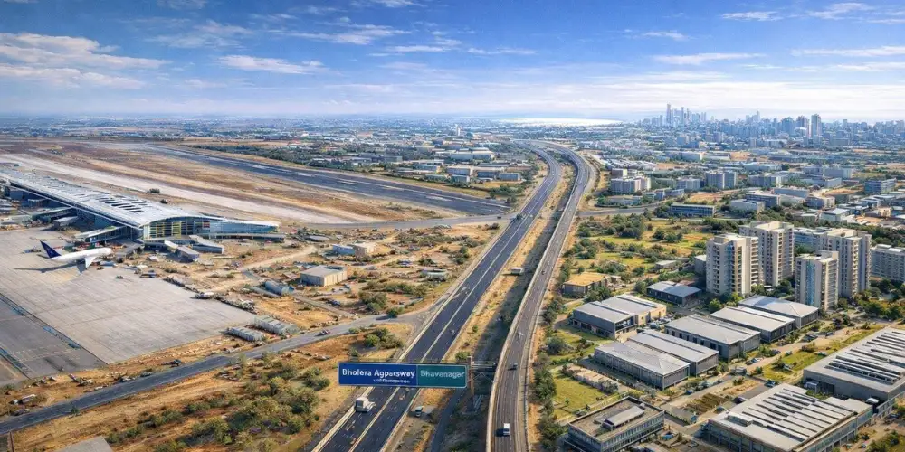
The Activation Area has a 72 km internal road network. It connects land zoned for industrial, residential and commercial use.
The official project FAQ says trunk infrastructure in this area has been built. Plots here range from 1 acre to 330 acres, and larger parcels can be assembled.
Large plots need roads that can handle more than local cars. An industrial unit depends on the regular movement of trucks, staff and service vehicles, so road access directly affects daily operations.
Mixed zoning helps too. When homes, workplaces and shops are planned within one area, daily trips can stay shorter.
Different users will judge these roads in different ways. A factory owner looks at truck access and turning space. A family looks at the route to schools, hospitals and shops. An investor looks at whether the plot already touches a working road or is waiting for one.
The Hidden Network Under the Roads
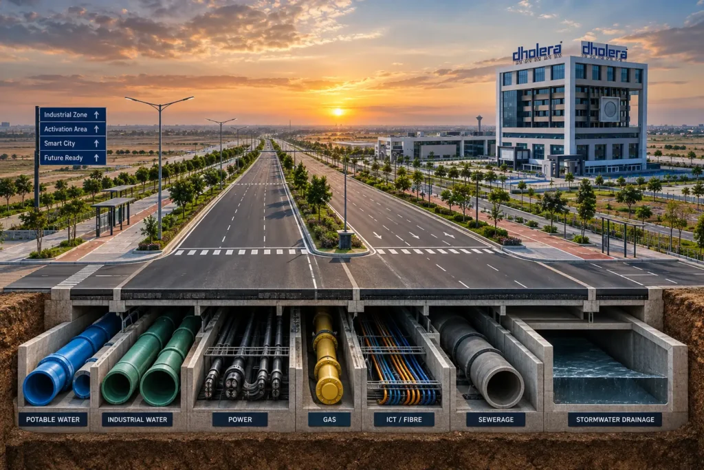
Good internal connectivity is not only about what you can see. In Dholera, the road corridor also carries the city’s service network.
Stormwater drains and utility ducts run under the Activation Area’s roads. Water, wastewater, ICT and gas networks are planned beneath the same corridors.
| Service | Current or planned setup | Capacity for expansion |
| Water treatment | 50 MLD plant | Up to 150 MLD |
| Sewage treatment | 10 MLD plant | Up to 30 MLD |
| Effluent treatment | 20 MLD plant | Up to 60 MLD |
| Power | 500 MVA | Up to 1,500 MVA |
| Stormwater | 6.6 km Central Canal | Drains to the sea |
| Gas | Plot-level pipeline by Gujarat Gas | Laying has started |
Several supporting systems sit behind these numbers. Two Mass Balancing Reservoirs and nine Elevated Service Reservoirs support water distribution across the area.
Power comes through two Torrent Power substations, including a 400/220 kV gas-insulated unit. GETCO is building a 220 kV substation as a second source. On the digital side, ICT ducts are installed and mobile tower sites are reserved.
The logic is simple. A plot on a planned road should be able to reach water, power and data through the same corridor, without separate long-distance connections.
Before you rely on this for a specific plot, confirm which connections have actually reached it.
Everyday Destinations Within the City
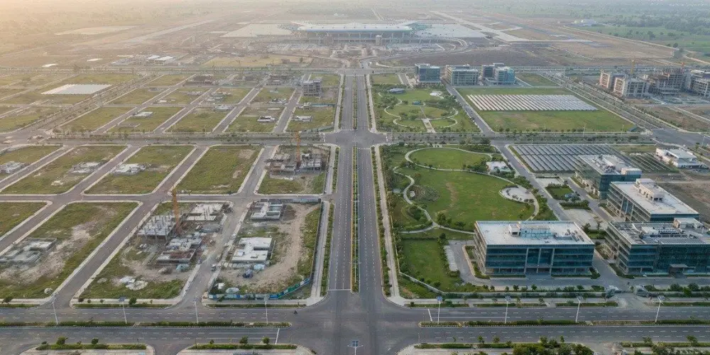
Connectivity is also about where the roads lead. A road system feels useful only when daily needs sit close to it.
An October 2026 government review of the Activation Area listed these facilities:
- A 200-bed multi-speciality hospital
- An integrated school
- A fire station
- A 42-room guest house
- A food court with space for 600 people
- A hotel and a 50-tent tent city
- Residential and commercial projects
During the same visit, the Gujarat Chief Minister also reviewed construction of the Tata Electronics semiconductor facility. Projects like this can create daily commuter and supplier traffic across the region’s roads.
Rail and Air Links That Will Reshape Movement
Three connectivity projects will change how people and cargo move once they are complete.
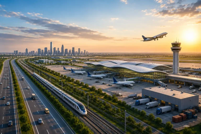
Semi-high-speed rail. The Union Cabinet approved this 134 km double line on 13 May 2026, at an estimated cost of about Rs 20,667 crore. It will have 13 stations and run parallel to the expressway. Sarkhej to Dholera should take about 34 minutes, and the completion target is four years. Reports also mention a planned airport trip of about 38 minutes from Sarkhej and metro integration at Sabarmati, Gandhigram and Vastrapur in Ahmedabad.
Freight rail. A 23 km Bhimnath–Dholera logistics line is under development. It will link Dholera to the wider rail network for cargo movement.
Dholera International Airport. The airport lies about 20 km from Dholera, with a dedicated access road to the expressway. A calibration flight has landed there, and it is expected to become operational by the end of 2026.
Each of these projects will create a new traffic hub. Stations, cargo yards and the airport road will need strong local links, so nearby corridors are worth watching.
What about a metro? It appears in some long-term discussions, but the official project FAQ does not mention one. Treat it as a future possibility, not a confirmed service.
What to Check Before Choosing a Plot
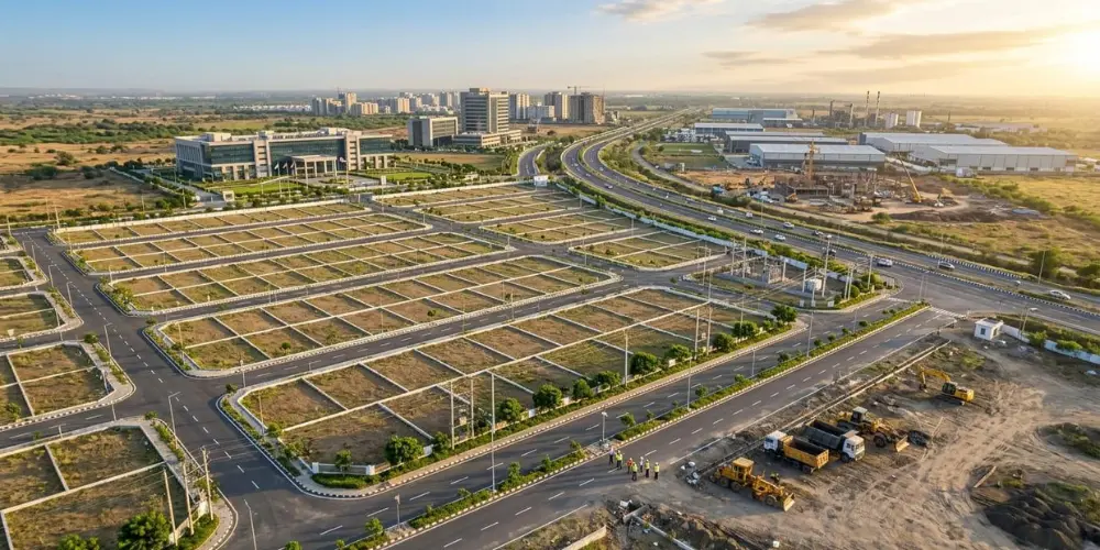
The internal connectivity of Dholera varies by location. A plot’s value depends on its own road and service access, not on the headline projects alone.
Use this short checklist before you decide:
- Find the TP scheme. Check whether the plot sits in the Activation Area or a later scheme.
- Read the approved plan. Confirm the planned road beside the plot and its status on the ground.
- Measure the last mile. Note the distance to the nearest built road, not just the expressway.
- Ask about services. Verify water, power, drainage and data availability for that exact plot.
- Visit the site. Maps show intent, while a site visit shows current progress.
Always cross-check your details with DSIRDA records. Our team can walk you through the location of any plot and explain how it connects to the wider network.
FAQs
It is the network of roads, utility corridors and local links that connects zones within Dholera SIR.
The Activation Area has a 72 km internal road network.
No. The Activation Area is the first phase, and other areas will develop as TP schemes move ahead.
Water, wastewater, ICT, gas and stormwater networks are linked to the road corridors.
Yes. It was inaugurated on 31 March 2026.